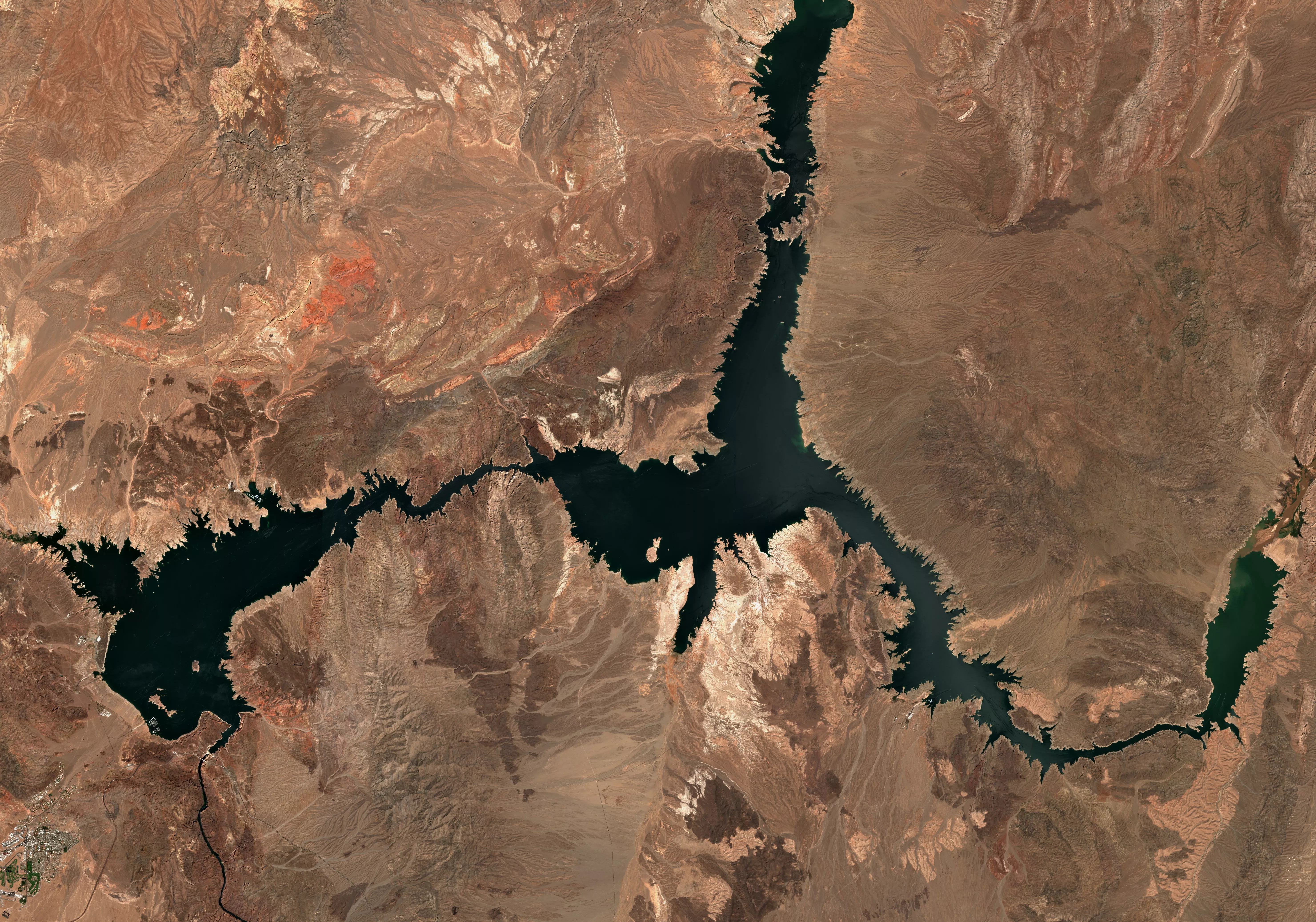
Empowering smarter land & water large-scale decisions through satellite strategic insights

Empowering smarter land & water large-scale decisions through satellite strategic insights

Orber provides precise satellite insights on land, water, and resources, empowering resource-dependent industries and environmental governance with more efficient and sustainable operational decisions.

Hero Shape
Hero Shape
Hero Shape
Hero Shape
Hero Shape
Hero Shape
Hero Shape
Hero Shape
Hero Shape
BG Pattern

Product

Comprehensive Land and Water Quality Estimation

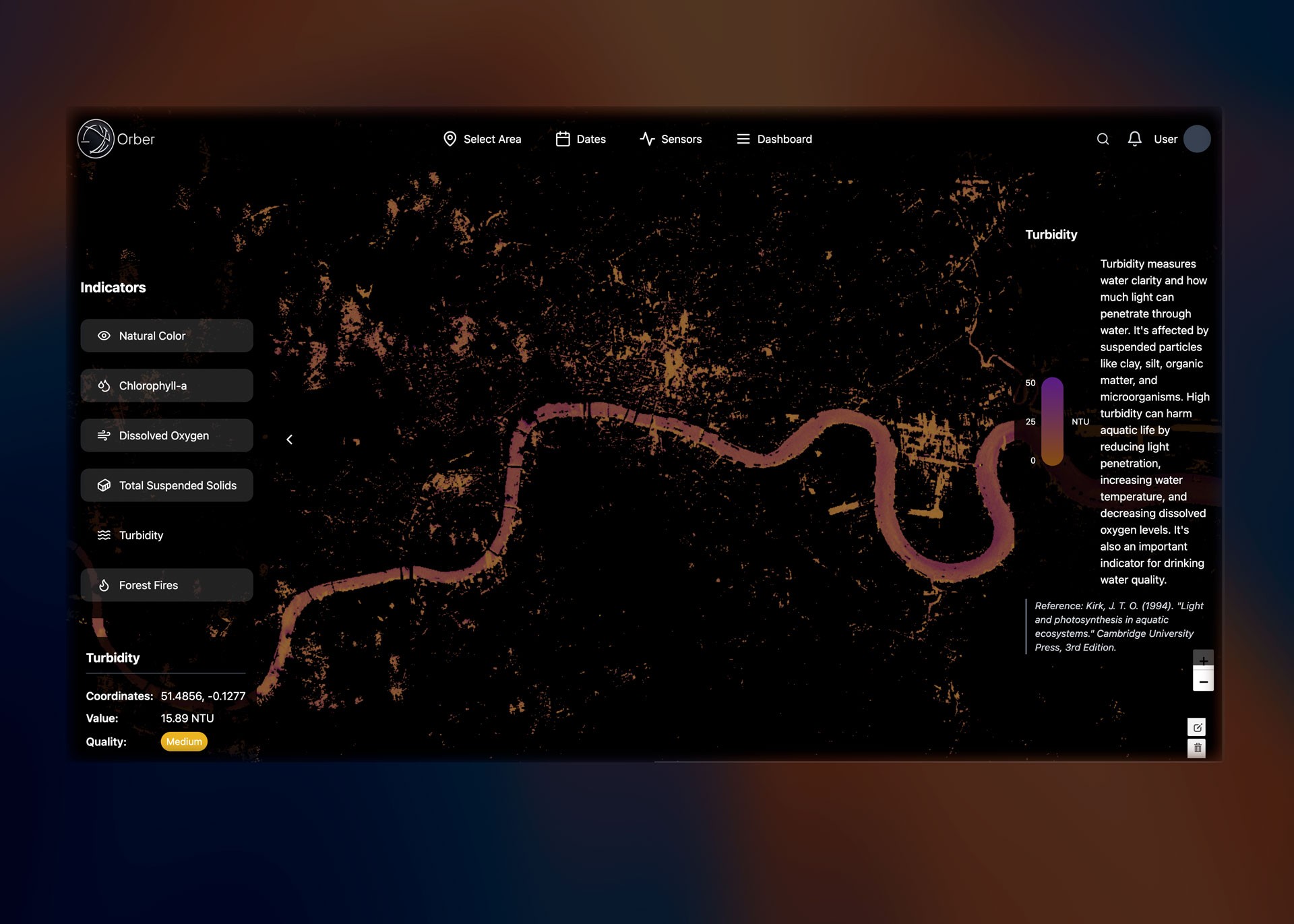
Provides satellite analysis of soil and water quality across large-scale areas, offering accurate estimates of health and safety based on satellite data. Leveraging multispectral and radar data, we deliver intelligence that can be translated into value. Currently we estimate: Water quality (Oxygen, trophic state, turbidity, total suspended solids), Oil spills in water, Soil humidity, Carbon Concentration, Burnt soil, which are critical for decision making.
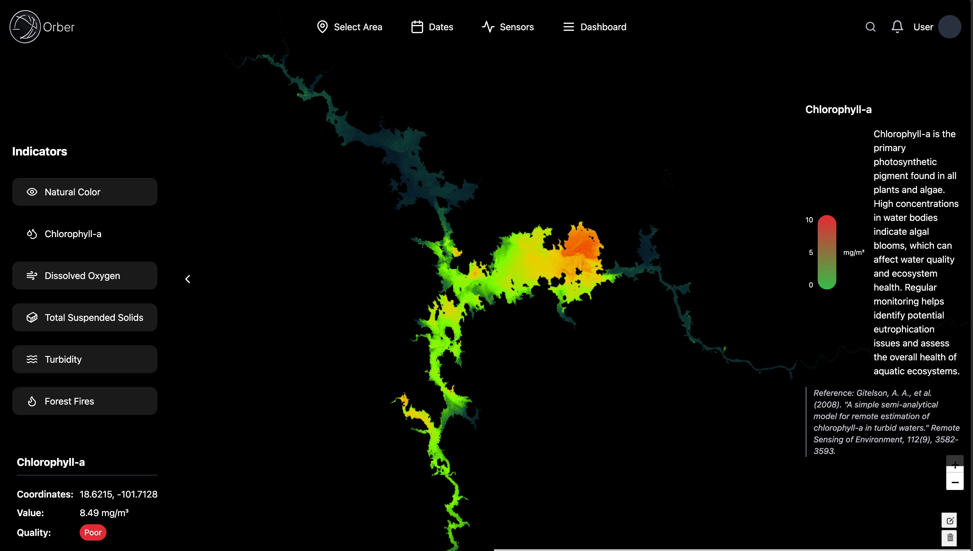
Pixel-precision analytics

Pixel-precision analytics

Pixel-precision analytics

Enhanced Compliance and Risk Management

Enhanced Compliance and Risk Management

Enhanced Compliance and Risk Management

Strategic Advantage with Multi-temporal Monitoring

Strategic Advantage with Multi-temporal Monitoring

Strategic Advantage with Multi-temporal Monitoring

Avoid costly regulatory fines

Avoid costly regulatory fines

Avoid costly regulatory fines

No need for GIS expertise

No need for GIS expertise

No need for GIS expertise

Features

Discover Our Full Suite of Orber

Icon BG Shape
Category Icon

Geospatial Intelligence with Coordinate-based Insights

Offers specific insights into the value and safety of land and water bodies by pinpointing their exact coordinates, enabling precise decision-making.

Icon BG Shape
Category Icon

Flexible Outputs

Customize outputs, save kml or GeoJson from selected areas or overview of raster and vectorial data.

Icon BG Shape
Category Icon

Instant response

Get the most recent insights of our custom algorithms. Previously it used to take days what you can now estimate in seconds.

Icon BG Shape
Category Icon

Seamless Usability

Unlike traditional GIS tools, Orber’s intuitive platform delivers insights in seconds. From trend analysis to on-demand reports, our interface is designed to save time and empower informed decisions with minimal learning curve.

Benefits

Today

Nov, 11

Nov, 10

Seamless Usability with Actionable Data

Seamless Usability with Actionable Data

Orber’s intuitive platform delivers insights in seconds rather than weeks, designed to save time and empower informed decisions.

Orber’s intuitive platform delivers insights in seconds rather than weeks, designed to save time and empower informed decisions.

REVIEWED

Current state

NTU units

Safety: Good

NEW

Compliance Made Simple

Compliance Made Simple

Make smarter decisions about resource allocation, site selection, and investment with clear, accurate metrics.

Make smarter decisions about resource allocation, site selection, and investment with clear, accurate metrics.

45

35

25

15

5

0

-5

Proactively address emerging challenges

Proactively address emerging challenges

Orber helps you reduce risks and ensure adherence to global standards without relying on complex software or costly consultants.

Orber helps you reduce risks and ensure adherence to global standards without relying on complex software or costly consultants.

Main use cases

Main use cases

Water Resources
Management

Water Resources
Management

Provides a consistent and reliable monitoring of the main water quality indicators to Improve water use efficiency, auditability of pollutants, helps to ensuring water availability during droughts.


Environmental
Governance

Benefits: tracking sustainable development and regulatory compliance, supports informed policy-making, and enhances accountability for environmental standards.


Precision
Agriculture

Monitoring soil moisture to optimize irrigation

Benefits: Increases yields, Increases agricultural productivity, supports food security, and optimizes water use in farming.

FAQ Logo

FAQs

Frequently Asked Questions

Your quick guide to common inquiries and solutions.

1.

What is Orber?

Orber is a satellite-powered platform that provides actionable insights on land and water quality. By analyzing satellite data, Orber delivers real-time information about soil health, water safety, historical trends, and compliance indicators, helping businesses and agencies make informed decisions.

2.

Who can benefit from using Orber?

3.

What kind of data can Orber provide?

4.

How accurate is Orber’s data?

5.

Is Orber customizable for my business needs?

6.

How do I get started with Orber?

Contact Us

Get early access

We’re here to support you! Feel free to reach out for assistance, feedback, or any questions.

Get a demo & a quote

Fill up the form and our Team will get back to you within 24 hours.

Section BG

Be part of the Future of land & water satellite analysis

Shape
Section BG

Be part of the Future of land & water satellite analysis

Shape
Section BG

Be part of the Future of land & water satellite analysis

Shape
Site Logo

Network

Telegram

Discord

Newsletter

Join our newsletter for exclusive updates and insights.

Orber © 2024 — All Right Reserved

Site Logo

Network

Telegram

Discord

Newsletter

Join our newsletter for exclusive updates and insights.

Orber © 2024 — All Right Reserved

Site Logo

Network

Telegram

Discord

Newsletter

Join our newsletter for exclusive updates and insights.

Orber © 2024 — All Right Reserved